


Payment & Security
Maksutietosi käsitellään turvallisesti. Emme tallenna luottokorttitietoja, emmekä ole pääsyä luottokorttitietoihisi.
Don’t Miss These Deals!


Kuvaus
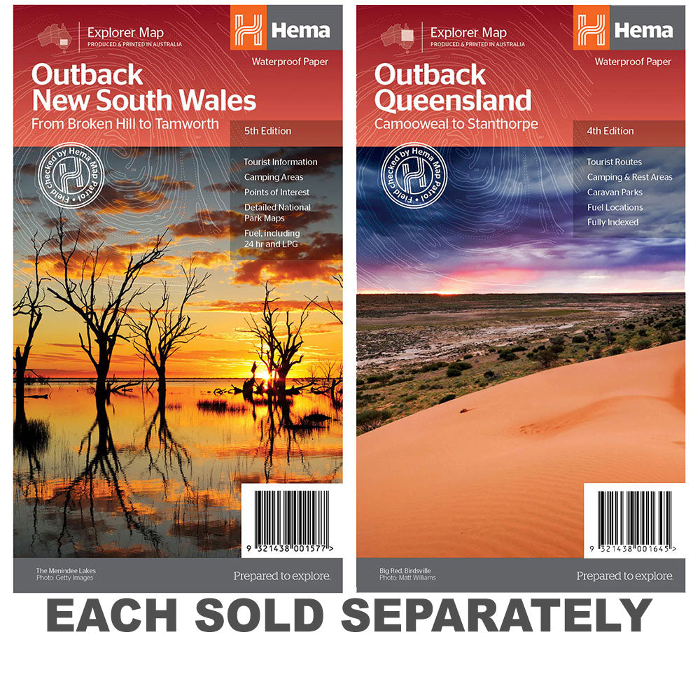
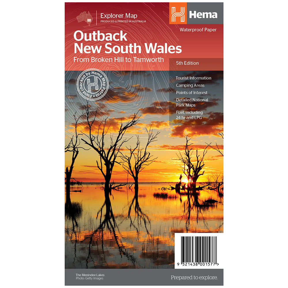
Outback New South Wales Map(5th edition)A regional map of outback NSW (1:1,100,000) that ranges from Tamworth in the east to Broken Hill in the west, as well as from Wagga Wagga in the south to past the Queensland border in the north.
On the opposite side is extensive information on numerous regions, including visitor, historical and background information.
Covered regions include the Broken Hill region, Corner Country, east of Tibooburra, the White Cliffs region, Cobar and surrounds, around Back o'Bourke, Lightning ridge and surrounds, Wentworth region, Balranald, Griffith region, Dubbo and surrounds, Kinchega National Park, Mungo National Park, Sturt National Park and Mutawintji National Park.
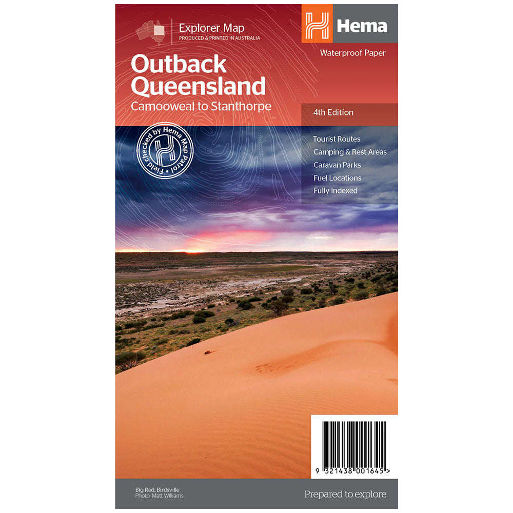
Detailed National Park Maps, Tourist information, Camping areas, Points of interest
Product Specifications
- Detailed National Park Maps
- Tourist information
- Camping areas
| Length : 25 cm | Width : 14 cm |
| Height : 0,3 cm |


Helppo paluu
Ilmainen 365 päivän takuu

Osta ja maksa valuutassasi
Toimitetaan nyt yli 40 maahan

100 000+ tuotetta
Upeat tuotemerkit. Kaikki lahjatapahtumat.
Aiheeseen liittyvät tuotteet
Top Selling Items


Trending Products